
The provision of preliminary environmental information is a requirements of the Planning Act 2008. We have prepared this information in two formats; pdf hard copy papers which can be accessed from https://cwwtpr.com/document-library/ and this digital website. Both formats provide equivalent environmental information.
This digital format allows users to view information in a more interactive manner. Throughout the various sections, users can access additional sources of information, and information provided on maps in the following ways:
If you click on text highlighted in purple, you will be able to access other sources of background information (e.g. policies, technical methodologies or guidance).
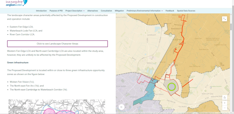
Where maps are provided, users can interact content in the following ways:
Where text is underlined, click on link. Additional features will be highlighted on map.
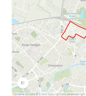
There is a legend on the bottom left corner of each map. Click on legend for a description of features shown on map.
Zoom – allows the size of map to increase and decrease.
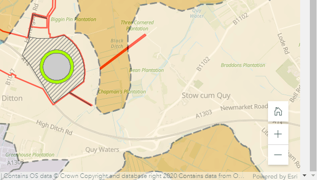
Users can click on a map features. A pop-up box will appear with additional information
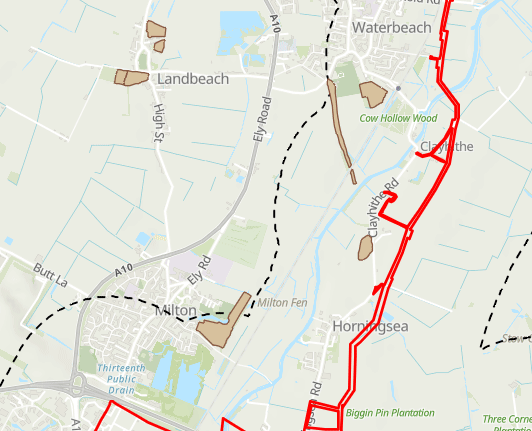
If there is more than one feature in this area, this is noted in the pop-up box. Click on arrows for further information
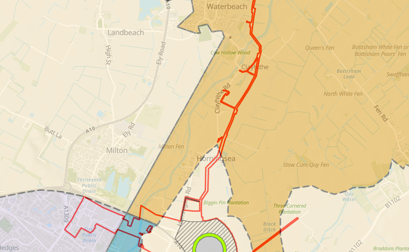
The diagonal arrows in the top right corner allows the map to expand to full screen
To view ArcGIS StoryMaps, it is recommended that the latest version of one of these browsers is used:
- Apple Safari
- Google Chrome
- Microsoft Edge
- Mozilla Firefox
Only WebGL-enabled browsers are supported, and the browser must support JavaScript and cookies.
Further information can be found here.